We couldn’t decide what we wanted to do for Spring Break. Elaine always saves her vacation time to coincide with my time off from school. Spring Break was going to be from April 1 to April 9, Saturday through Sunday.
We figured we could start our traverse of the Pacific Northwest Trail. We picked the only section that could be done at this time of year since most of the route involves high traverses and mountain passes.
The section from Alger, WA, just east of I-5 to Port Townsend seemed like it could be done in a week. It’s just about 84 miles from start to finish without any side trips. It doesn’t count the ferry ride from Keystone to Port Townsend.
We started at home in Port Ludlow. Picking up our friend, Al Learned, in Port Hadlock, who was going to help us with driving and pick-ups, off we went to the Port Townsend ferry. It was a drizzly, mild day but it was the day we needed to start. The drive to Alger took just about an hour. After a lunch of broasted chicken and beer, we headed to the trailhead which was only about 200 yards away.
Al dropped us here and told us to give him a call from Port Townsend or wherever when we got to our destination. The photo above shows us starting out. Heavy backpacking/mountaineering packs, rain gear, and sturdy hiking boots.
Here is the map we used for our first day: PNT_090_v1
Mileage: 9.8 miles. Elevation gain: 2700 feet.
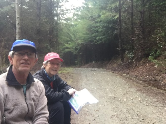
Most of the “trail” we walked at first was an access road to some timberland. It went up about 700′. Seemed we went up forever, but we hadn’t been backpacking for a while. Here we are taking a snack and water break.