Tomorrow, July 14, we will start on the trail to hopefully complete our last leg of the Pacific Crest Trail. We’ve been hanging out in Manson, WA with family doing some summer activities in pretty hot weather – 95-105F.
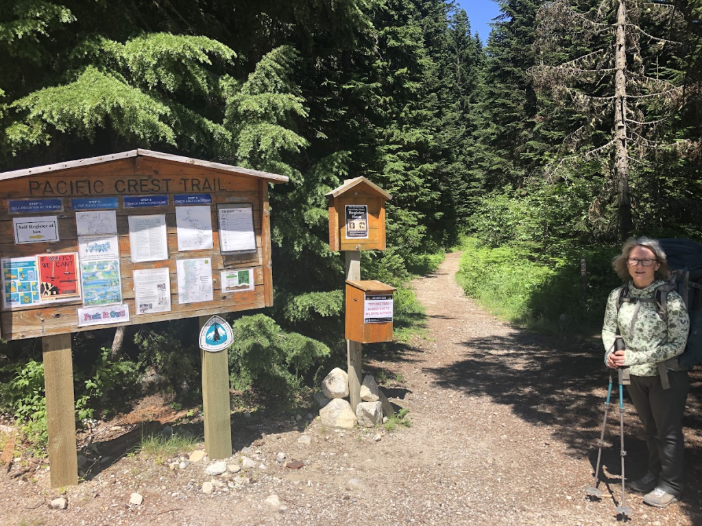
We will be dropped off at Stevens Pass to pick up where we left off last year. The weather is looking very good, and the wild fire situation is in pretty good shape as well.
We have sent a resupply to Stehekin, WA, and have reservations on the shuttle from the High Bridge Trailhead to Stehekin town.
We also have reservations at Manning Park Lodge on July 31.
We hope to complete this section in 18 days/17 nights. The reports are that there is still snow on the trail and in campsite areas. We hope that this last week’s hot weather will have opened up the trail and campsites more. We are prepared for snow nevertheless. Any snow may cause us to take more time but we know that and will carry on with our itinerary. Our days have been set up to make a moderate number of miles each day (about 11 miles). The days are still long and we certainly have the skills to deal with snow.
We hope to be able to get a few posts out when we reach Stehekin via internet.
We’re pretty excited to get started and our confidence in pretty high. Watch for our next post around July 22.
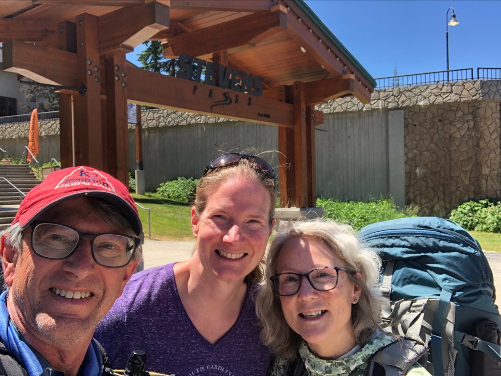
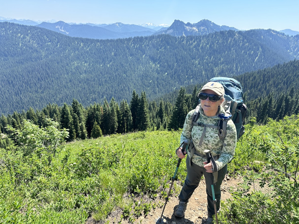
Sunday July 14. Weather: Warm, sunny, breezy. After lunch the Stevens Pass summit lodge with daughter Colleen, we stepped back on to the trail to continue our quest to complete the Pacific Crest Trail that extends from the Mexican border in California to the Canadian border in Washington.
Today, we travelled 5.7 miles instead of the 4 miles we previously planned. There was no reason not to go a bit farther since we had the time and our legs felt good. The only downfall were the mosquitoes, which were relentless. We went down near Lake Valhalla to set up camp where three other southbound hikers were camping as well. The bugs down here were more reasonable.
We had freeze-dried Beef Stroganoff and hot cocoa for dinner. We always start off our dinners with a hot drink and some salty snacks to help us re-hydrate. Also, we follow up dinner with some chocolate – fun-sized Baby Ruth or Snickers or chocolate-coated coconut.
Monday July 15. Weather: warm and sunny. Little breeze. We were up at 6:00am with coffee, oatmeal, and dried fruit. Left Lake Valhalla behind at 7:30. This is the time of year when the ‘southbounders’ are all getting started from the Canadian border. It is illegal to hike the PCT from Canada into the United States, so those wanting to go border-to-border have to hike 30mi north to access the border monument. Then they turn around and start heading south, so we are seeing a lot of them approach us as we head north.
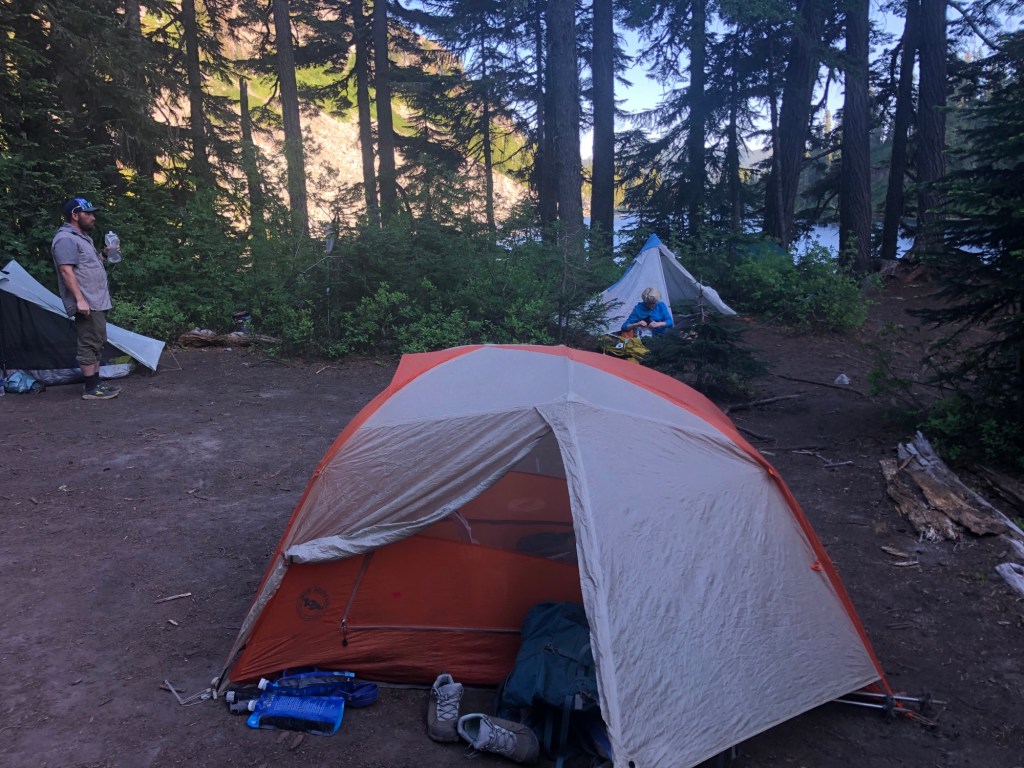
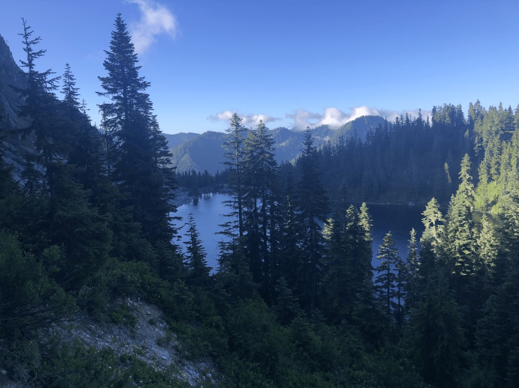
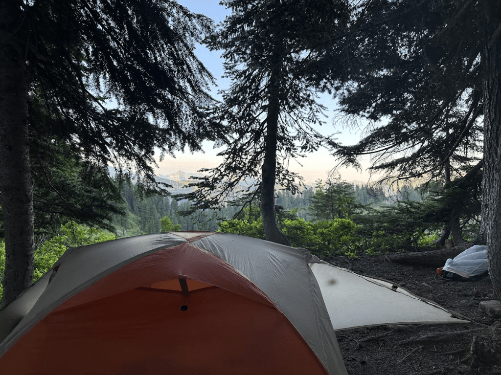
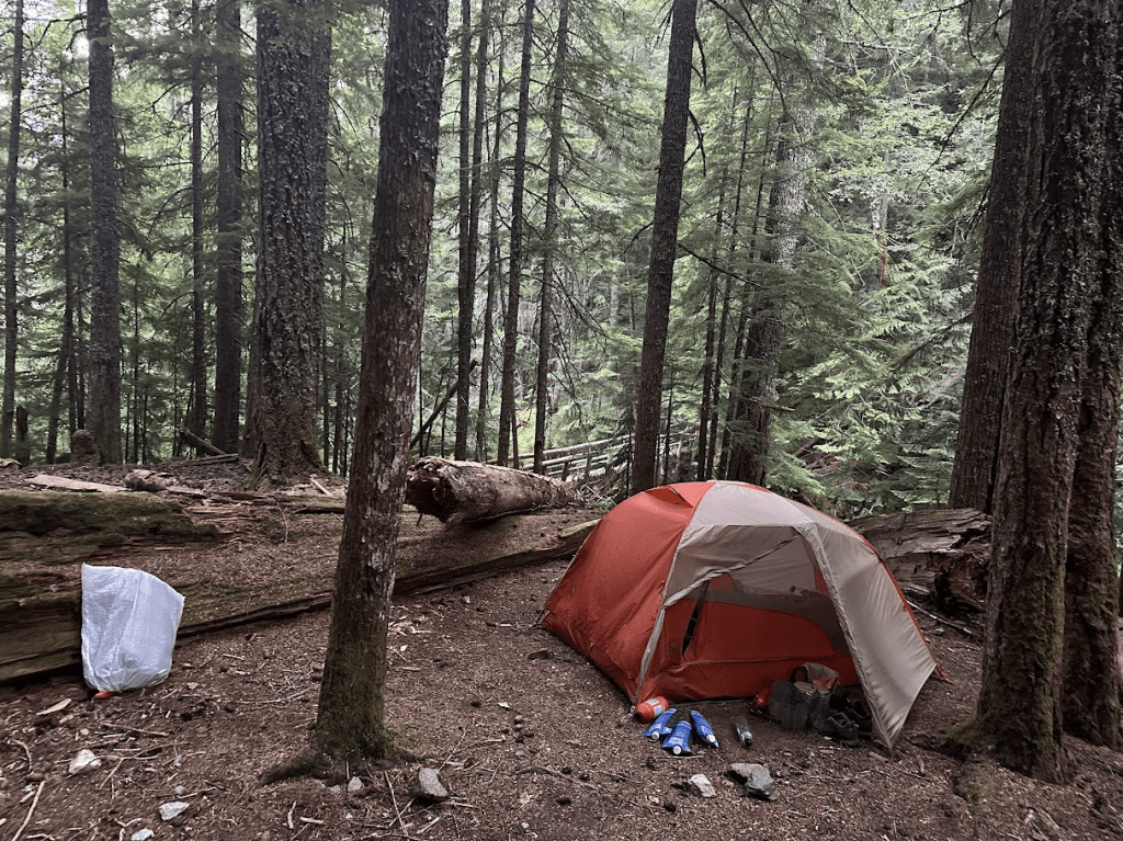
Trail lunch consisted of crackers and cheese. Hiked 12.8 miles to Pear Lake. 4 middle-aged folks also there with their tents. Lots of bugs – many bites. Garlic shells and beef for dinner. Good views of Glacier Pead ahead of us as we trekked north. Also, Mt Rainier appears above all the other mountains to the south of us.
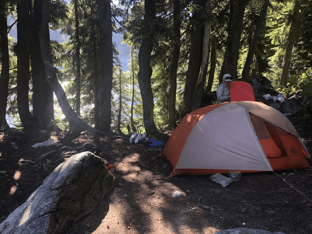
You can just see Pear Lake through the trees. Here also is our Big Agnes brand, Copper Spur tent. Nice size for us but the zippers are an issue. They’ve failed in the past and we’ve needed to use a zipper repair kit just to get them to seal the bugs out. Not sure how long we can tolerate this tent. It’s the curved zippers that seem to cause problems.
Tuesday July 16. Weather: warm and sunny.
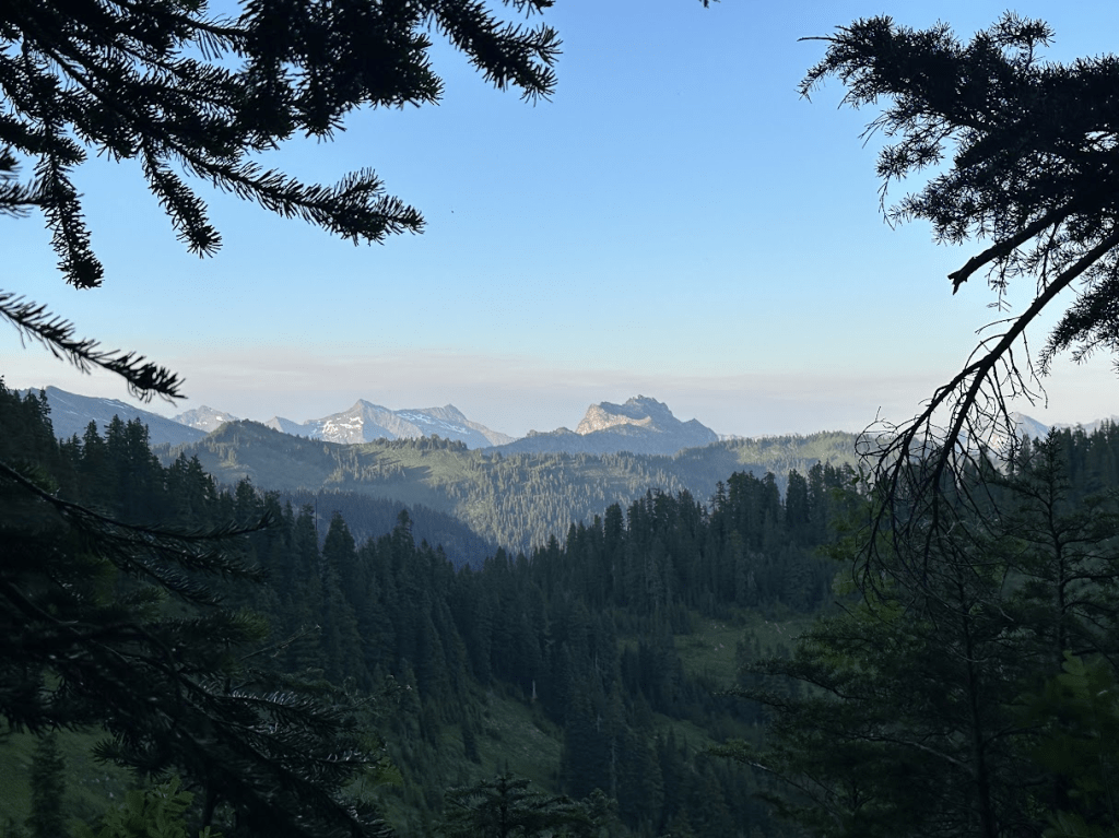
Left camp about 8am. Lots of high ridge and meadow walking. Surprisingly, there are many high mountains around here that are covered right to the top with grasses and bushes. Great habitat for birds and squirrels. Everyone we talk to wonders about encounters with “wild animals”. Very few. They avoid us; we avoid them. The worst ones? Squirrels and rodents that only come out at night. Tell you about how they impacted us on a later day.
Large plume of smoke to the northeast. We think it could be from the Pioneer fire near Stehekin on Lake Chelan. Disappeared later in the evening.
Set up camp at Lake Sallyann. Lots of bugs and hot in camp. Mashed potatoes (a favorite of mine) and mini-meatballs. Some clouds creeping in high in the southeast.

Most lakeside camps have an installed “wilderness toilet”. Just a wooden box with a lid and a 6′ hole underneath. The toilet at Lake Sallyann has to be one of the best with a view hard to beat. You can see it below.

Wednesday July 17. Weather: Warm and sunny but deteriorates at camp. Almost ready to leave a 6:30am, when we hear call of “Help! Help! Help!” It sounded like someone was way up on the side of the mountain and was stuck. But, I walked toward the cries, I find a woman sitting in the trail next to the lake outlet. She tells me her ankle is broken. I look at it. She moves it with her hand a bit and – sure enough her leg or ankle are broken.
We spend an hour with other hikers and the woman’s hiking partner while she contacts emergency services on her inReach emergency locator device. She gets a response but their is no plan by the time we head off down the trail. She is many trail miles from any road. We imagine the inReach https://www.garmin.com/en-US/p/592606

people will contact the county sheriff and they will organize search-and-rescue. I was concerned because she was in the open sun and without shelter.
We hiked along and came to the long traverse to cross Red Pass. It took us a few hours to get up to pass level and cross over into the White Chuck River headwaters.
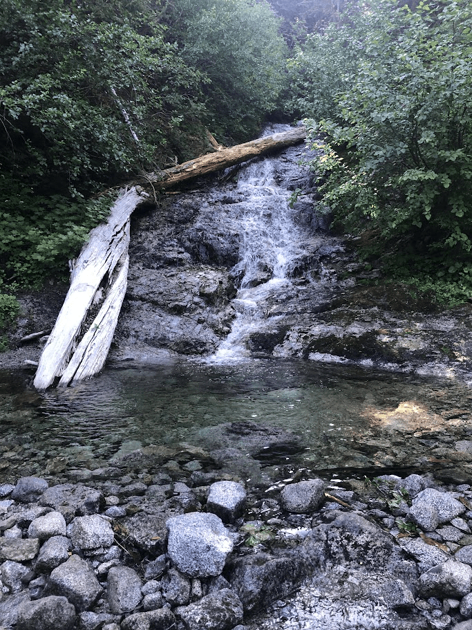
The trail goes around to the left and traverses rocky slopes with many small streams running down from melting snow. These were always welcome sights as we drank tons of water throughout the day. Depending on the stream, we might not filter the water when it was cascading from snow fields above the trail. Any lake water or slow moving water was always filtered with our trail filter system as seen here:
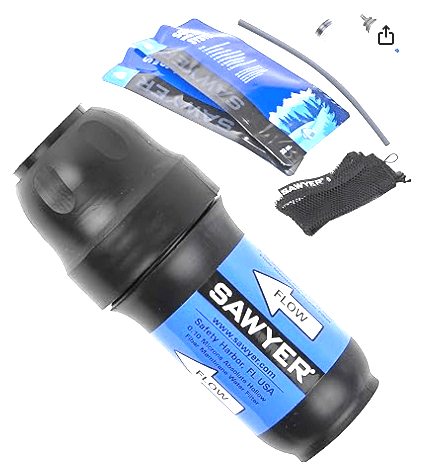
https://www.sawyer.com/products/squeeze-water-filtration-system Sawyer Squeeze Water Filter. This is only about 6″ long and very light. It has worked very well for us. Just attach this to a plastic liter bag supplied with the kit, turn upside down, and start squeezing into a water bottle. With an adequate water source, it only takes a few minutes to get several liters of water. A full load of water for us is 1.5 L each in .75 L plastic bottles. We can increase our carrying capacity to 4.5 L by filling our 3 water collection bags.
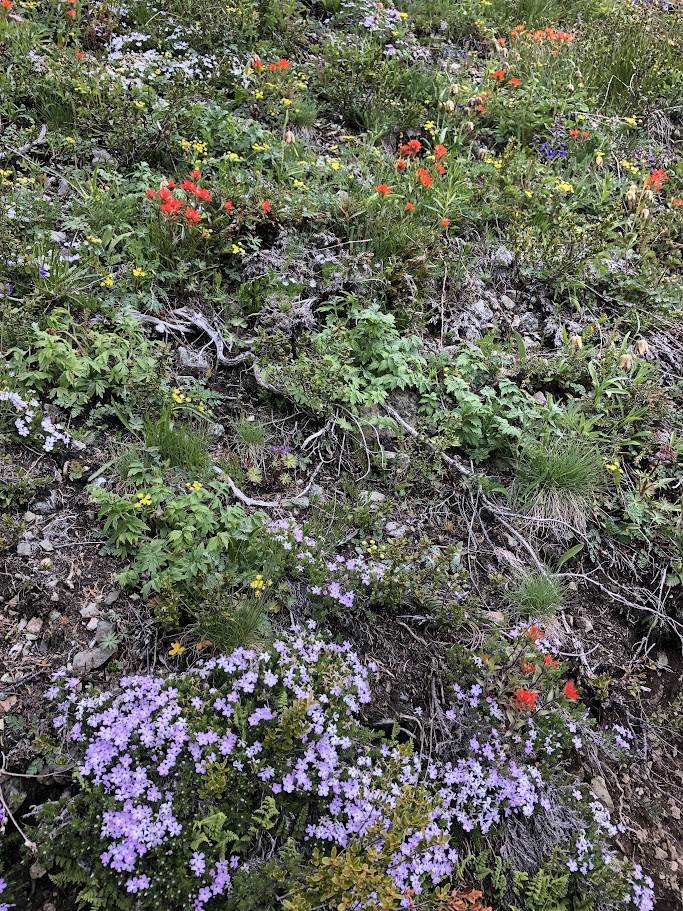
As we traversed they high mountain slopes, we were amazed by the amount and variety of wild flowers.
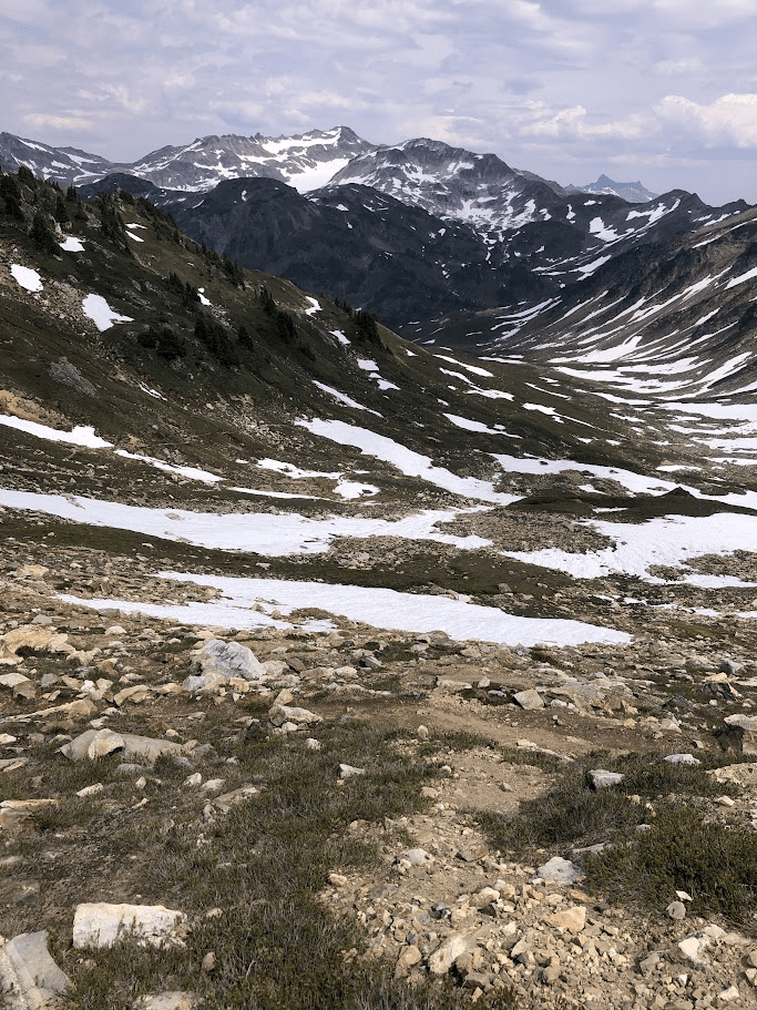
As seen here, the sky is clouding over with more dense cloud cover. This will play out in a very impactful way.
We descended down the White Chuck basin to looking for a camp as this was a long 13-mile day with a large amount of elevation gain and loss. We found a small trailside campsite near a creek farther down the valley. The sky was getting more obscured by clouds, and large rain drops started to fall. Within a minute or two, torrential rain and hail was on us as we tried to set up camp. Everything got wet. We just had to stop mid-set-up and wait. Soon thunder was rumbling almost continuously. We didn’t think this was too bad especially since it seemed to be a “wet” storm precluding fires from lightning strikes. We didn’t know that this was a very large front stretching from Oregon to Northern Washington. Fires were starting near and far. In the next days, we’ll see the result of this storm system.
We managed to get set up and had teriyaki chicken for dinner. Thunder and a couple flashes lasted for an hour or two.
We needed to get rest. Tomorrow would be our biggest day in terms of mileage, terrain, and elevation.
Thursday July 18. Weather: Clear and sunny. We continued down the White Chuck drainage through deep forest and crashing streams. We crossed the White Chuck on a large log easy to walk on.
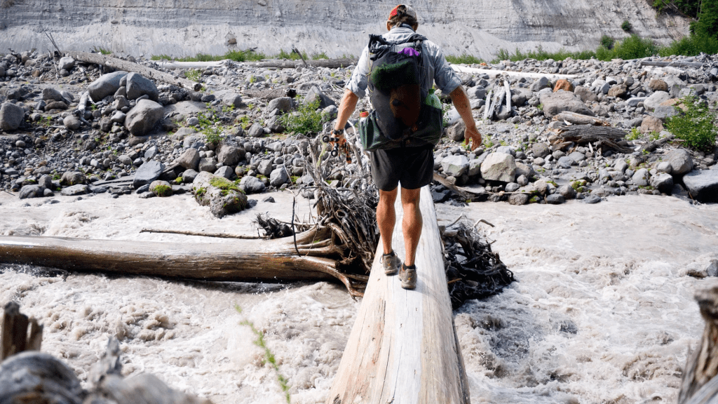
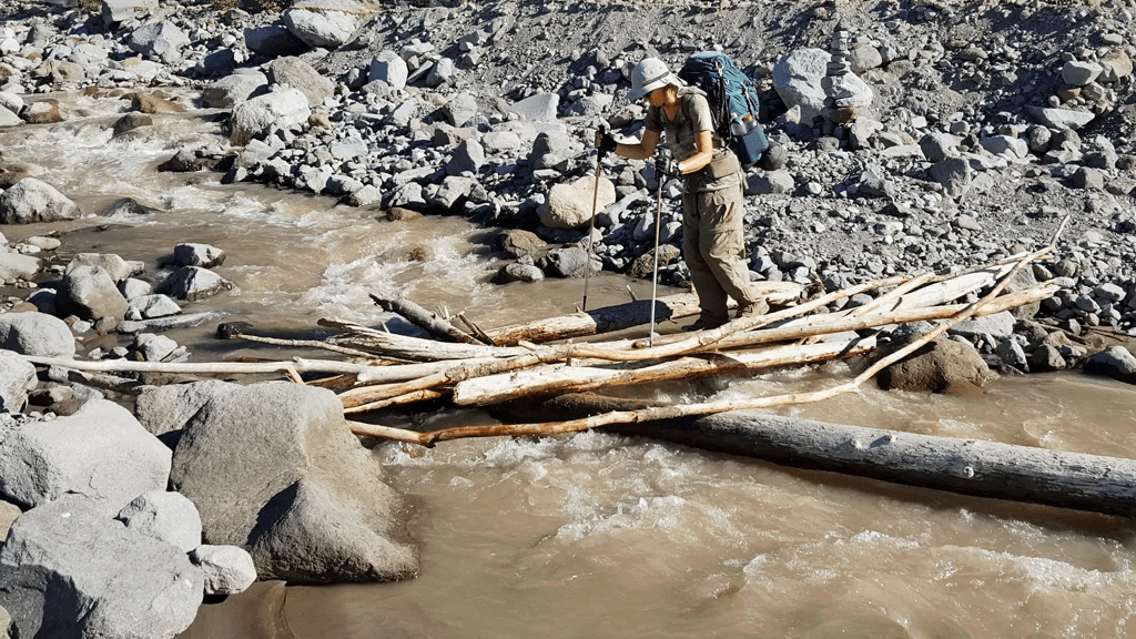
It was trickier to cross Kennedy Creek but had two small logs next to each other – one foot on each – and we successfully crossed without getting wet, similar to this –
Now things get hard. We descended into the Kennedy Creek drainage over a lot of blow down and through a lot of brush. It was hot with little breeze.
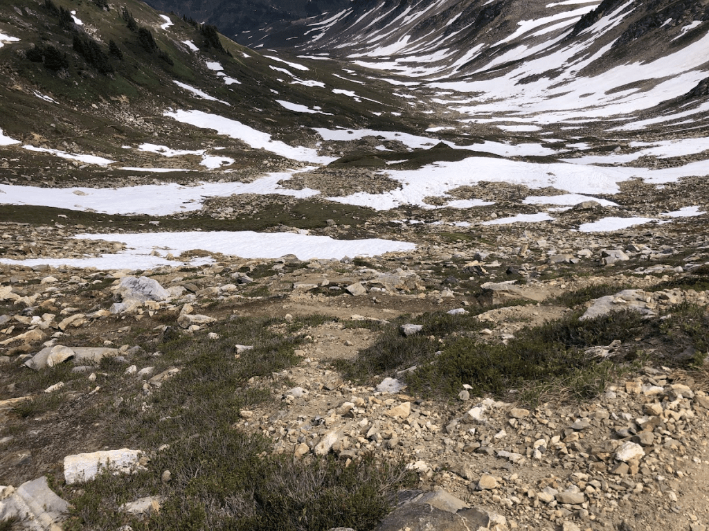
As we traversed below Glacier Peak, we climbed down thousands then up thousands of feet toward our intended camp at Mica Lake on the other side of Fire Creek Pass. Here is Fire Creek Pass from the other side. This is where the most snow was that we had to be careful with. It took a bit of time but our familiarity with snow travel benefitted our passage.
After hiking down through the rocks and across snow and melt streams we came to our camp at Mica Lake.

Our toughest day finished here. It was a great place to end the day.
Across a couple valleys, we can see a smoke plume from a fire. Seems high on a ridge and just smoking. This was the first clue that the thunderstorm we had produced at least one fire.
Friday July 19. Weather: sunny and warm. At 4:30am, I got up to relieve myself and looked across the valleys to see an area of bright blazing fire to the north where we’d seen smoke the previous evening. We hoped it would not have an effect on our routing.
Today was another tough day! Deep into the Milk Creek drainage through brush, blow-downs, and hot sun. We took it slow and drank a ton of water. Eventually, we emerged into an sub-alpine meadow area where we just kept climbing until we rounded a corner into a high basin below the high terrain near Glacier Peak. We looked to the north from here and saw a huge smoke plume rising from what looked like just the other side of the ridge 1/2 a mile away. After discussion, we decided we needed to move on to a trail camp 1.7 miles away. We loaded as much water as we could carry, and moved on.
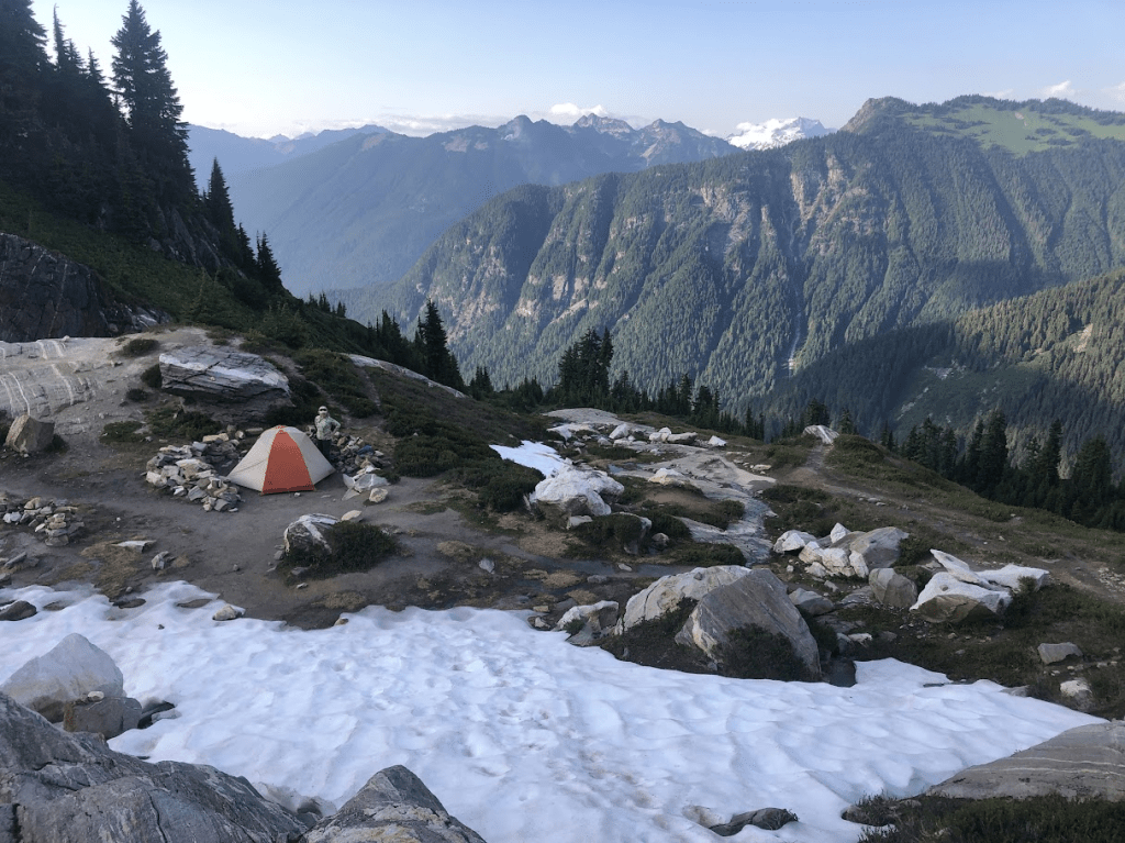
We got to the Dolly Vista Trail Camp to find “Chatty” already set up there to greet us. We talked about fires and outlooks. Lots of unconfirmed information. At this point, we thought anything could happen but we knew rangers would sweep trails or post closures ahead.

Above is the area where the trail camp is located.
Had some more mashed potatoes for dinner as the sun was going down. It was a long day as we arrived near 7pm, about 12 hours of hiking today.
Saturday July 20. Weather: Warm and sunny, calm. Switched back continuously into the Vista Creek drainage. Probably the most blow-down we’d seen up to here. Sometimes crawling under. Other times climbing over one, two, even three huge trees at a time. Eventually, we came down to Vista Creek and followed it to its confluence with the Suiattle River. Then down the Suiattle River to the very large bridge spanning it.
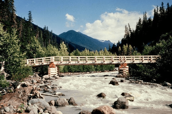
This is the large Suiattle River Bridge we crossed.
We continued northeast on the trail. We could see smoke plumes from fires behind us and we were thankful to be heading away from them. As we came to the Image Lake trail intersection, we looked below the trail in the to woods and brush to see a mother bear and two cubs. Very exciting! They ignored us as they moved on, and we watched amazed and quiet. It was very cool to see them. Fear never entered the scene. Everyone went on their ways happily.
A mile further on we crossed Miner’s Creek to camp where we found “Chatty” again. This time we pretty much kept to ourselves.
This was a pretty good camp except that in the morning, we found a hole chewed in our tent and all our snack mixes were gone! We could fix the tent but couldn’t get the snack mix back.
Sunday July 21. Weather: sunny but a bit smoky. Woke up early at 5:00am to have time to climb the 3300′ to Suiattle Pass in 7.5 miles. The grade was quite good and moderate. We were in the shade most of the time and that helped. Some clouds coming in and that made hiking a bit cooler.
We did pass a couple of Forest Service rangers on the trail. They didn’t seem too concerned about the conditions or fires. Didn’t think there was any threatening weather coming in.
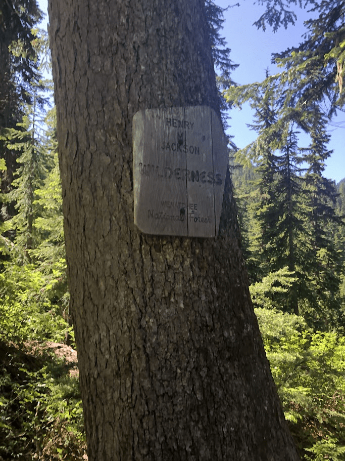
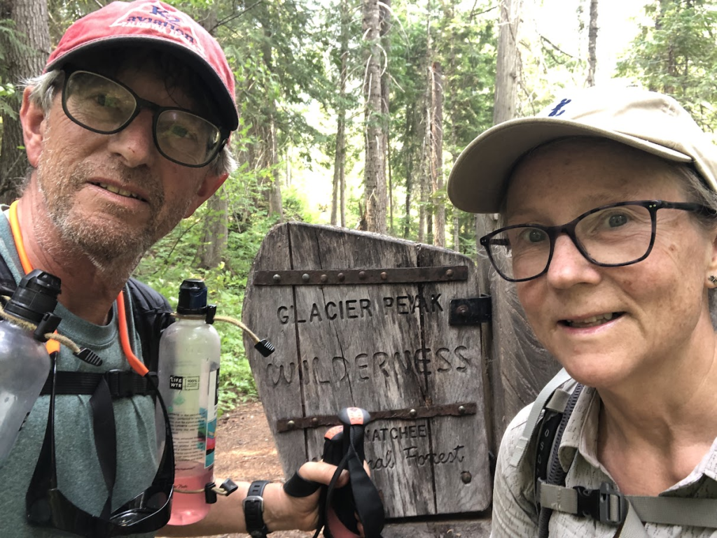
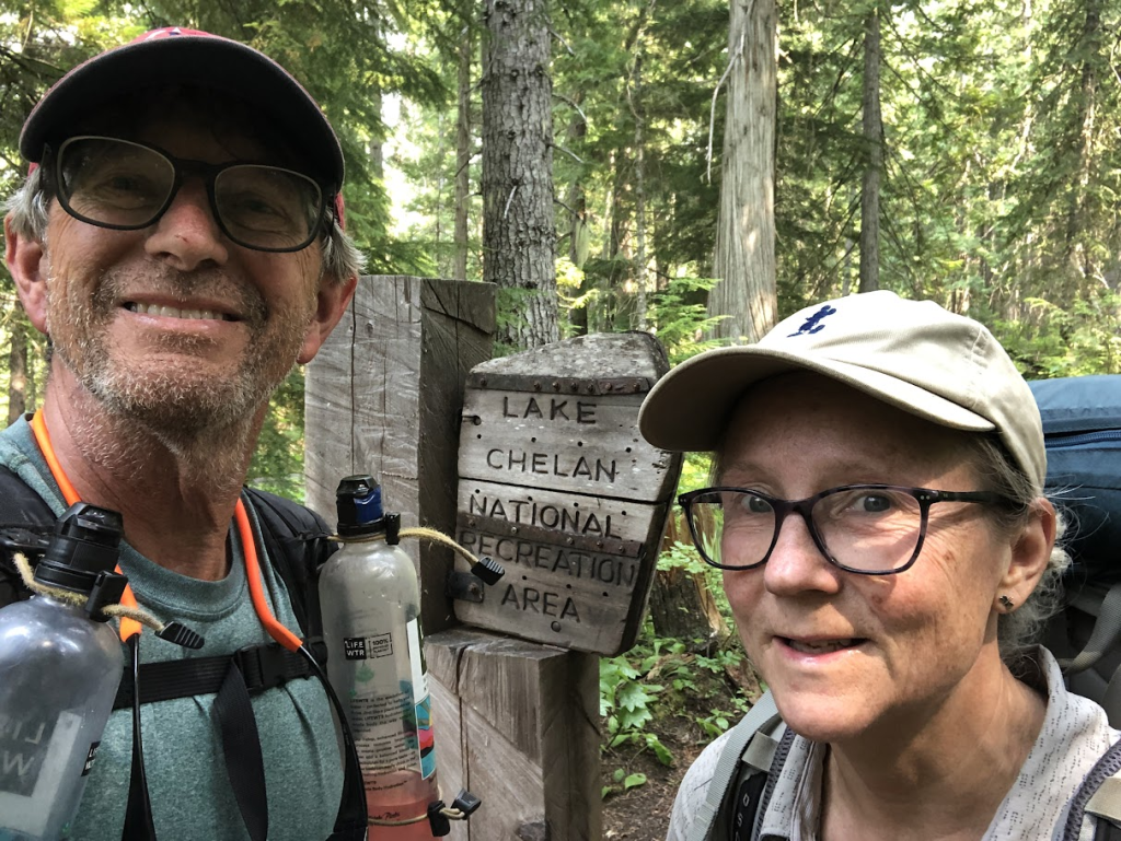
We descended the basin of Agnes Creek with huge mountains surrounding. We did leave the Glacier Peak Wilderness and entered the Lake Chelan National Recreation Area on the way.
Again, there was more brush and streams to cross. It seemed like it took quite a while to get to a camp since we actually were doing more miles than we planned.
Eventually, we had to cross a stream where there was no bridge or rock-hopping. We just had to wade through up to just over our ankles. We had to move on about .3 miles more before finding what we thought was camp. There were a few small sloped sites below the trail so we went to look. While we’re looking, down the trail walks a 3-4 point buck. He turned and looked at us for a few seconds then turned and kept walking. We never saw him again.
We wondered if we needed to hike on to find a good tent site when we saw a signpost down the trail. It directed us to campsites up the hill, so one more steep hill, and a pretty big flat tent site. The only bad thing were the serious biting flies! They were everywhere! Got on our “bug jackets” got the tent set up, and jumped inside for a few minutes.
We did have to go back to the creek we waded through to load up on water. After that, we were in pretty good shape.
Monday July 22. Weather: rumbly, then partly cloudy. We woke at 5:30am to rumbles of thunder off to the east. We heard thunder maybe 5 or 6 times then no more.
We had biscuits and gravy for breakfast – Elaine’s favorite. But there were no eggs to go along with them.
Today, we would reach Stehekin, and our resupply box. We knew it may be for nothing because of the closure of the trail north of Rainy Pass due to the Easy Fire.
The trail took us down to the bottom of the valley to parallel Agnes Creek. As we trekked, we passed under amazing huge rock faces. Eventually, we crossed Agnes Creek on a large walkable log – no drama. Several miles on it got warmer and warmer. We were drinking water constantly. We switch-backed down to the bridge back over Agnes Creek and up the other side. We could see the historic cabin across the next deep canyon-ed creek. Instead, we came to a road that led to the bridge.
We’d missed the shuttle bus by about an hour and had to wait for the next one 2 1/2 hours. We talked to “Rabbit”, a PCT hiker, who was on a 90-day schedule – all the way from Mexico to Canada. Amazing! He was managing 30-40 miles a day; even eating as he walked. Very nice guy from Vancouver, BC.
When the shuttle arrived, we jumped aboard and were greeted by a friendly, informative driver who seemed to know everything about the Stehekin Valley. We also knew common acquaintances, which surprised him.
We checked in for a room in Stehekin, ordered a beer, and enjoyed grilled chicken, noodles, and vegetables. Very yummy! It was bitter sweet though because this essentially put an end to our trip. Unless there was a change in trail status in the next two days, we would have to coordinate transportation home from here.
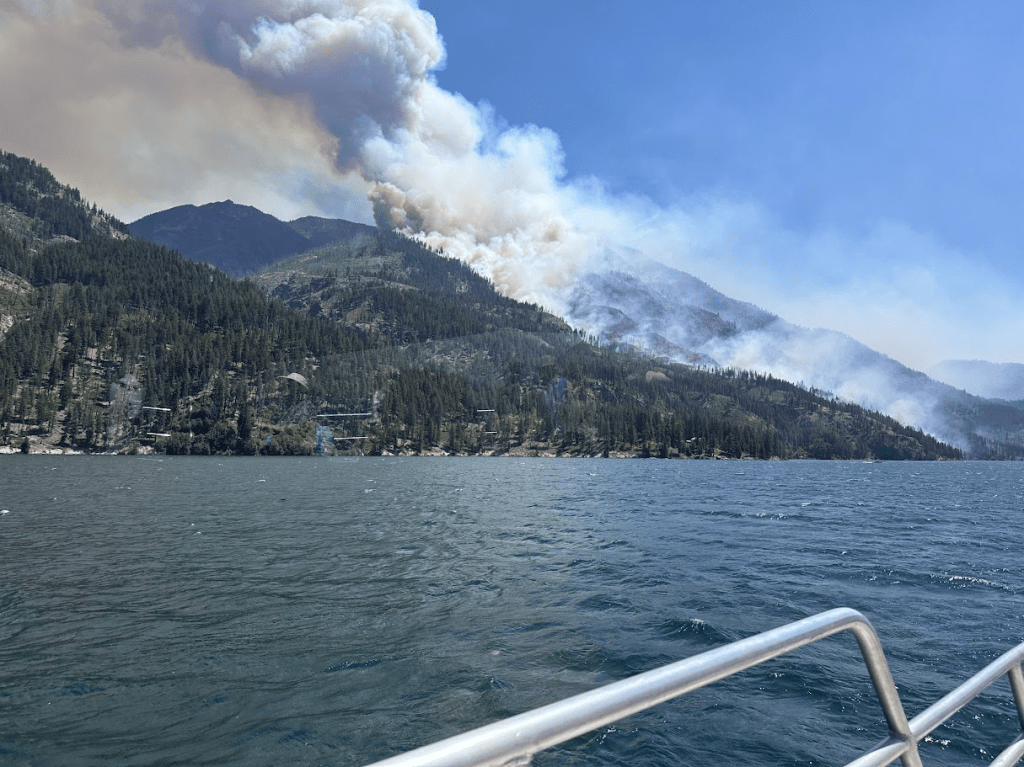
And Stehekin was certainly not normal. There were wildland firefighters everywhere! We could see the smoke plume of the Pioneer fire just down the lake. It seemed so close! At least we would be here for the next two nights.
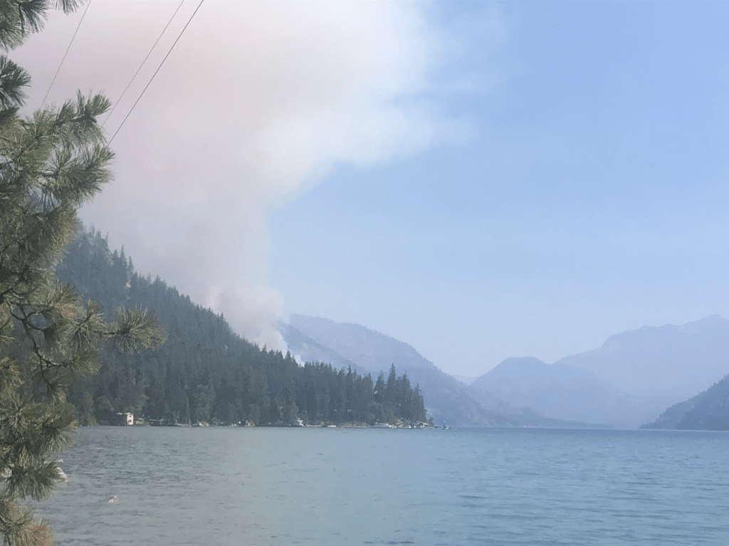
Smoke plume south of Stehekin
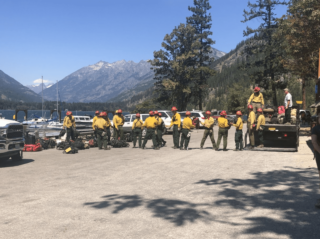
Tuesday July 23. Weather: Sunny, windy. Hanging out in Stehekin to see if there may be a reason to advance up the trail to Rainy Pass. Highway 20 still closed to the west prohibiting an easy pickup at Rainy Pass. Stehekin Landing filled with wild land firefighters moving in and out. More equipment being unloaded from barges. New crews showing up. Walked to Stehekin Bakery Co for ice cream and breakfast goodies. Strong afternoon down-lake winds. Smoke plume continues overhead just southeast. Excellent topo chips with feta cheese and chorizo.
Wednesday July 24. Weather: Sunny, windy. Calm,sunny morning. Lot of fire crew activity on landing below us. Checked out and on Lady Express boat at 12:30. Watched tanker aircraft make run after run to dump water on active fire line above and southeast of Stehekin. Drops continued during the time we were on the boat down lake. Arrived Chelan 3:35 and caught bus to Wenatchee at 3:45. Dinner at El Porton, which had excellent food and margaritas. Learned late that Stehekin will be under Level 2 fire warning as of 8am tomorrow. No tourists will be allowed in and all those there are required to leave. We were ahead of that requirement by a full day.
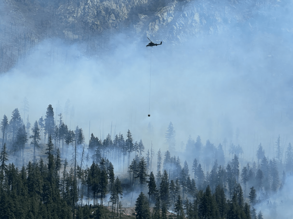
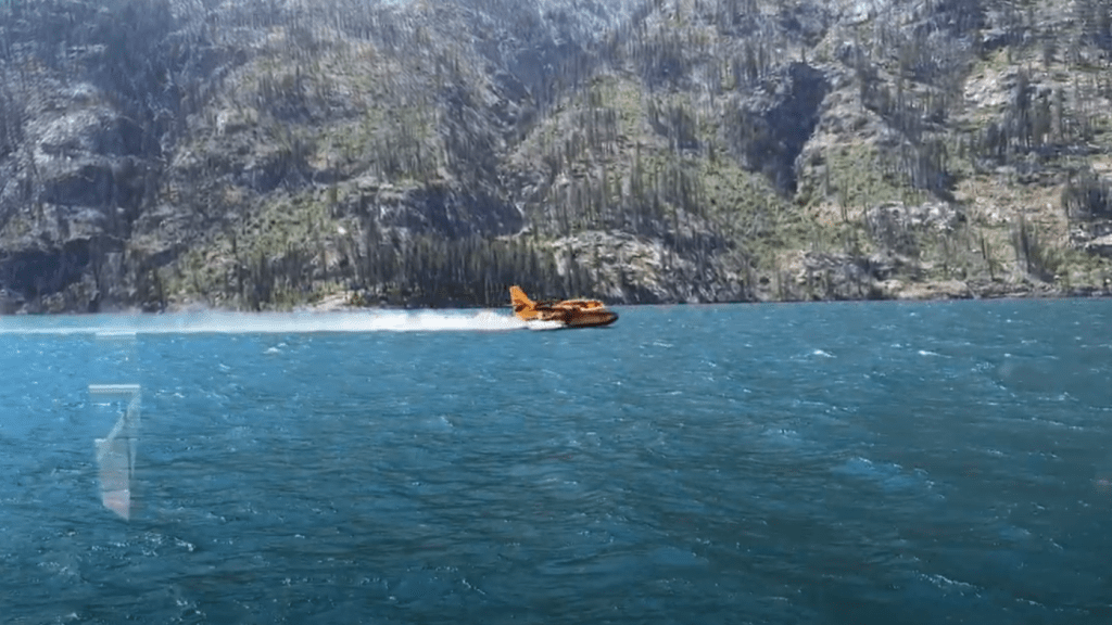
Air tanker picking up a load as they skim the lake.
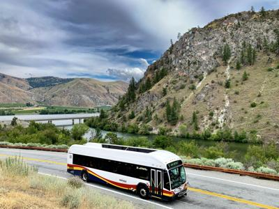
After we landed, we picked up a bus (free!) from Chelan to Wenatchee. Very nice bus! Drivers were very helpful.
After staying in Wenatchee overnight, Alaska Airlines flew us home to SEA-TAC where we were picked up by family.

